Nick Kwan's Highway & Road Map Page
| Washington Highways & Road Maps | U.S. Highways, Former & Current | ||||
|---|---|---|---|---|---|
Washington Highways & Road Maps:
| Washington Highways | Washington Road Maps | ||||
|---|---|---|---|---|---|
Washington Highways
Washington Highway 99: State Highway 99 was formerly U.S. Highway 99 and has existed since June 25, 1969. It is a nearly 50 mile stretch of highway (48.97 miles) that runs from Fife to Everett with a 2.4 mile gap in Tukwila, Washington because the City of Tukwila took control of that chunk of the highway in the early 2000s (see this article) for road safety reasons. Between the Viaduct Tunnel and Everett, there are numerous businesses such as motels, restaurants, car dealerships, chain stores, and other small businesses. Because State Highway 99 has existed in some form since 1926, there are many historic places (officially recognized and unofficially) and objects such as the George Washington Memorial Bridge (Aurora Bridge), Woodland Park, Klose-In Motel Sign (currently in storage at MOHAI, and the Marco Polo Motel (one of the last places Kurt Cobain was seen alive).
| Everett | Evergreen Way, Diagonal Way, Broadway (NO LONGER PART OF THE HIGHWAY), Rucker Ave. (NO LONGER PART OF THE HIGHWAY), Everett Ave. (NO LONGER PART OF THE HIGHWAY) | ||||
|---|---|---|---|---|---|
| Seattle | Aurora Ave., E. Marginal Way, Alaskan Way (NO LONGER PART OF THE HIGHWAY) | ||||
| Tukwila | International Blvd. (NO LONGER PART OF THE HIGHWAY) | ||||
Washington Highway 410: State Highway 410 was formerly U.S. Highway 410 and has existed since 1968.
Washington Highway 522: State Highway 522 was
Washington Highway 529: State Highway 529 was
Washington State Road Maps
Below are the covers of road maps that I own. Below my collection are scans/photos of road maps from the 20th century.


Click this scan to view a larger version. This map courtesy of the Washington State Library and Washington State Archives.
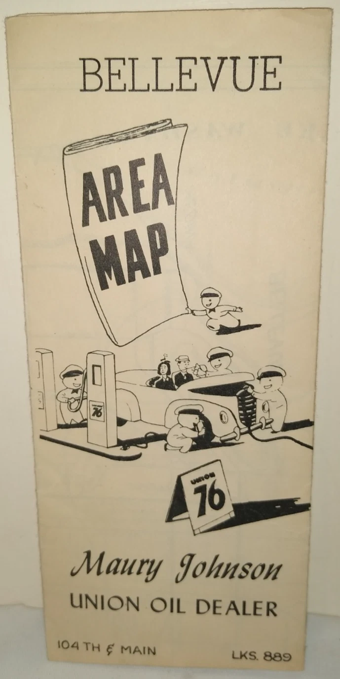
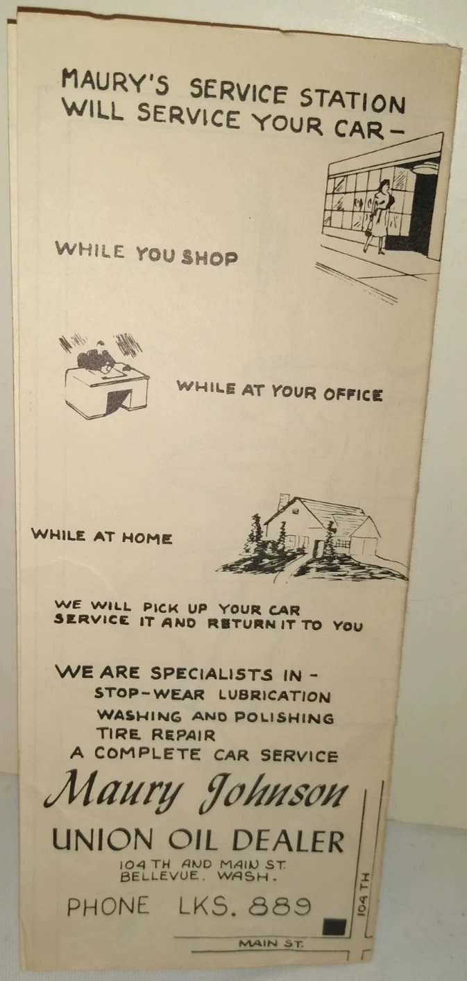
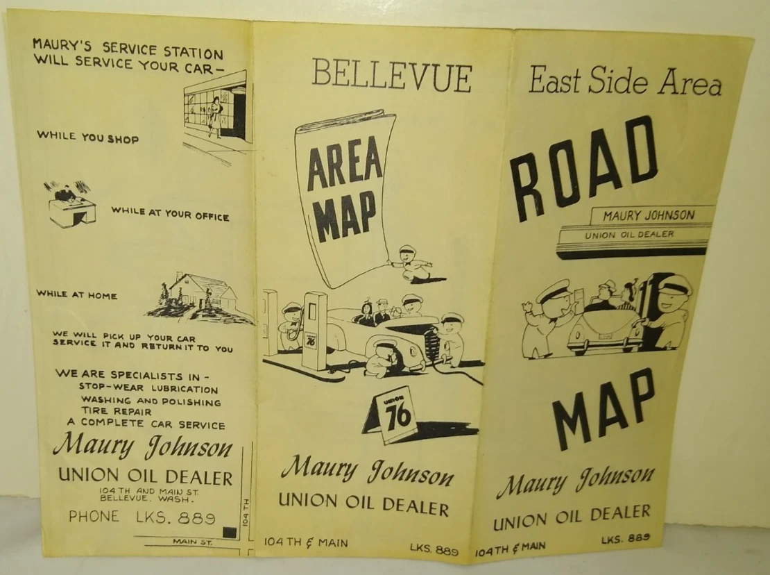
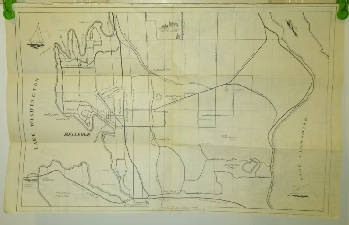
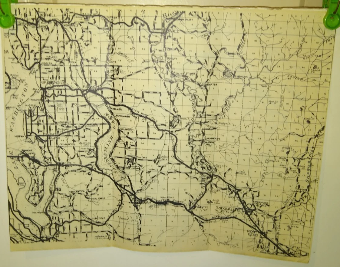
This map was distributed by Maury Johnson in 1941. His station was located at 104th Ave. N.E. (now Bellevue Way N.E.) & Main St. in Bellevue.
U.S. Highways, Former & Current
U.S. Highway 2: U.S. Highway 2 currently is a
U.S. Highway 10: U.S. Highway 10 existed from
U.S. Highway 99: U.S. Highway 99 existed from 1926 until June 24, 1969. It was a 1600 mile highway that started at the U.S.-Mexico border in Calexico, Calif. and ended at the U.S.-Canada border in Blaine, Washington. Once it was in Canada, it became British Columbia Highway 99 & 99A.
ALT U.S. Highway 99: The alternate route of U.S. Highway 99 ran from Bellingham, Wash. to the U.S.-Canada border, where it became British Columbia Highway 13 within Canada. It was commissioned in 1952 and was decommissioned in 1969, when it them became State Highway 539.
ALT U.S. Highway 99: The other alternate route of U.S. Highway 99 ran from North Burlington, Wash. to Bellingham, Wash. and existed between 1937 and 1967. It originated as Primary State Highway 1 (which ran along the path of U.S. Highway 99) and later became State Highway 11 after the 1964 Highway Re-numbering. Between 1964 and 1967, State Highway 11 was co-signed as ALT U.S. 99.
BUS U.S. Highway 99: The business route of U.S. Highway 99 ran from exit and entrance ramps on Aurora Ave. just before a tunnel that connected the Alaskan Way Viaduct and Aurora Ave. to 4th Ave. S. & E. Marginal Way in Seattle. This was the original route of U.S. 99 before the Alaskan Way Viaduct was built in the 1950s and 1960s.
U.S. Highway 410: