| Washington Highways | Washington Highway Signs | ||||
|---|---|---|---|---|---|
Washington Highways
Washington Highway 99: State Highway 99 was formerly U.S. Highway 99 and has existed since June 25, 1969. It is a nearly 50 mile stretch of highway (48.97 miles) that runs from Fife to Everett with a 2.4 mile gap in Tukwila, Washington because the City of Tukwila took control of that chunk of the highway in the early 2000s (see this article) for road safety reasons. Between the Viaduct Tunnel and Everett, there are numerous businesses such as motels, restaurants, car dealerships, chain stores, and other small businesses. Because State Highway 99 has existed in some form since 1926, there are many historic places (officially recognized and unofficially) and objects such as the George Washington Memorial Bridge (Aurora Bridge), Woodland Park, Klose-In Motel Sign (currently in storage at MOHAI), and the Marco Polo Motel (one of the last places Kurt Cobain was seen alive).
Washington Highway 410: State Highway 410 was formerly U.S. Highway 410 and has existed since 1968.
Washington Highway 513: State Highway 513 has existed since 1964 (in its current form since 1991) and runs for 3.35 miles in Seattle. For the original route (with a detour for the current 130th St. closure), click here. For the current route, click here.
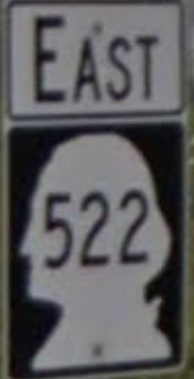
Washington Highway 522: State Highway 522 has existed since 1964 and runs for 24.68 miles from Seattle to U.S. 2 near Monroe.
See the routes:
Original Northbound & Southbound Route: click here
Current Route: click here
Washington Highway 901: State Highway 901 has existed from 1964 until 1992. It ran for 11.7 miles, and you can view the 1966 route here
Washington State Highway Signs
764-HERO Signs:
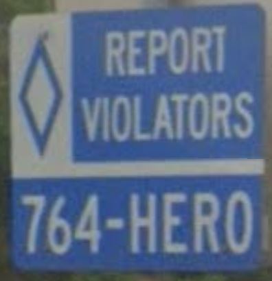
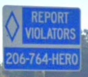
These signs are less common than they used to be because the 764-HERO program was discontinued in 2021, however some are still around. The earlier signs are like the one in the photo on the left, and the later signs are like the one in the photo on the right.
Washington State Route Signs:
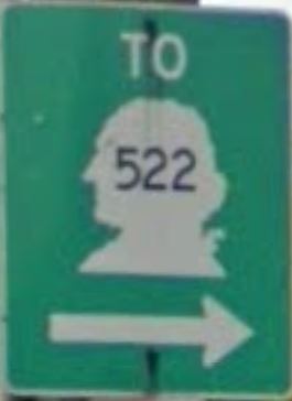
Signs like these are very common on Washington State highways. Signs like the one on the left is slightly older (I think) because the font is smaller and the shield is slightly different. Signs like the one on the right are more common and can be found along every Washington State Route.